Wirral Loop

The Wirral Loop is a 36-mile way-marked route around the edge of the Wirral Peninsula. With a real mix of terrain - fields, cycleways, industrial and forest - it’s an interesting ride taking in some of the highlights of the peninsula.
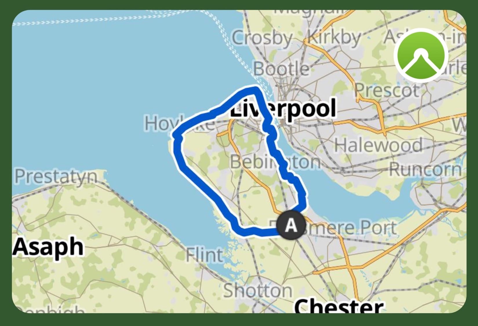
Approximately 3/4 of the route is traffic free. The other 1/4 is on some minor roads with the occasional busier road. Care needs to be taken - especially with anyone younger - on some of these roads.
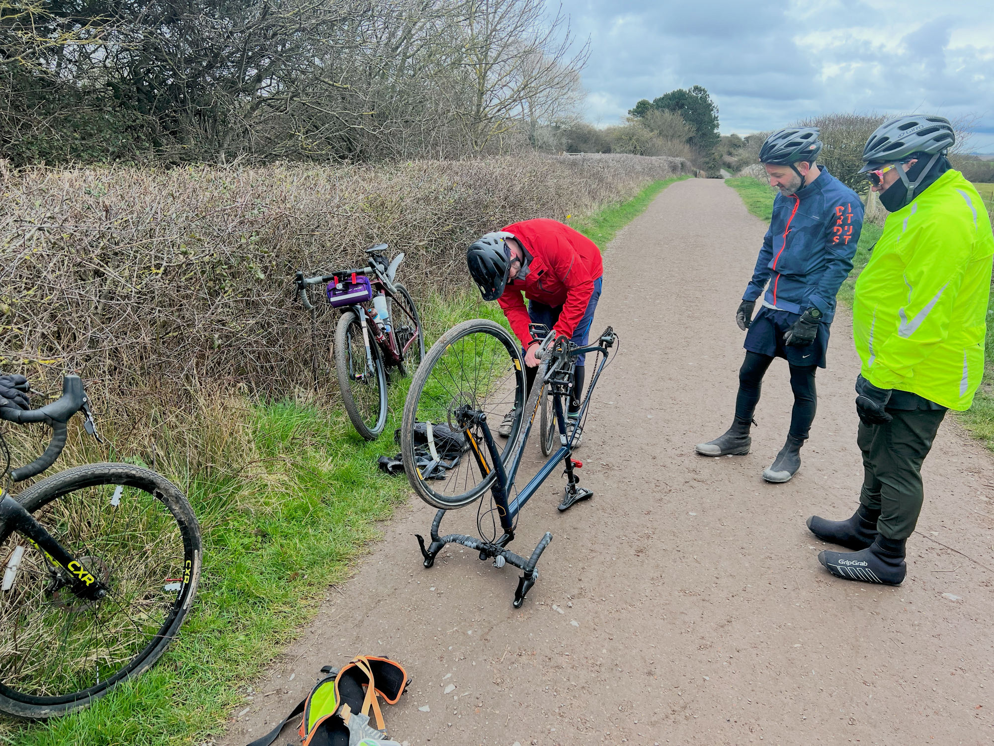
The great thing about this route is you pass close to numerous Merseyrail stations which can quickly nip you back to Hooton if you have any mechanical problems.
Start / Finish
Hooton Station : There is plenty of parking at Hooton Station as this is also a park and ride for Liverpool / Birkenhead / Chester. There is a small charge for parking. On a Saturday / Sunday this is around £3.
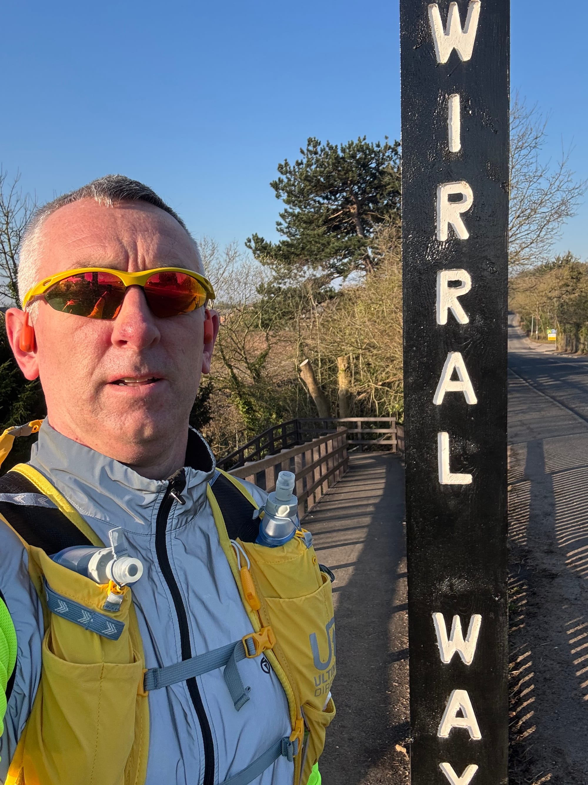
The Wirral Way (and Wirral Loop) starts 1 minute away from the car park.
Route
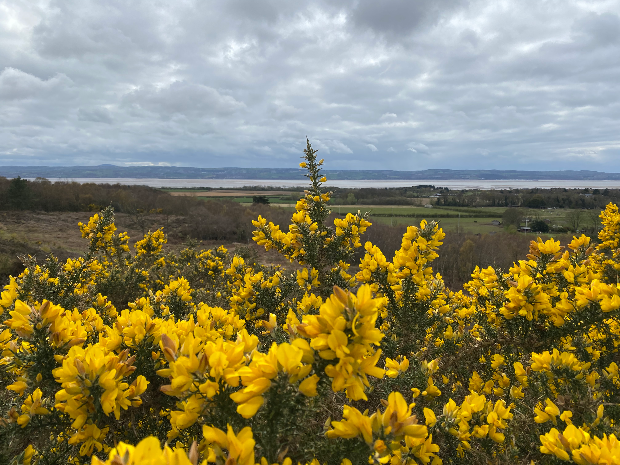
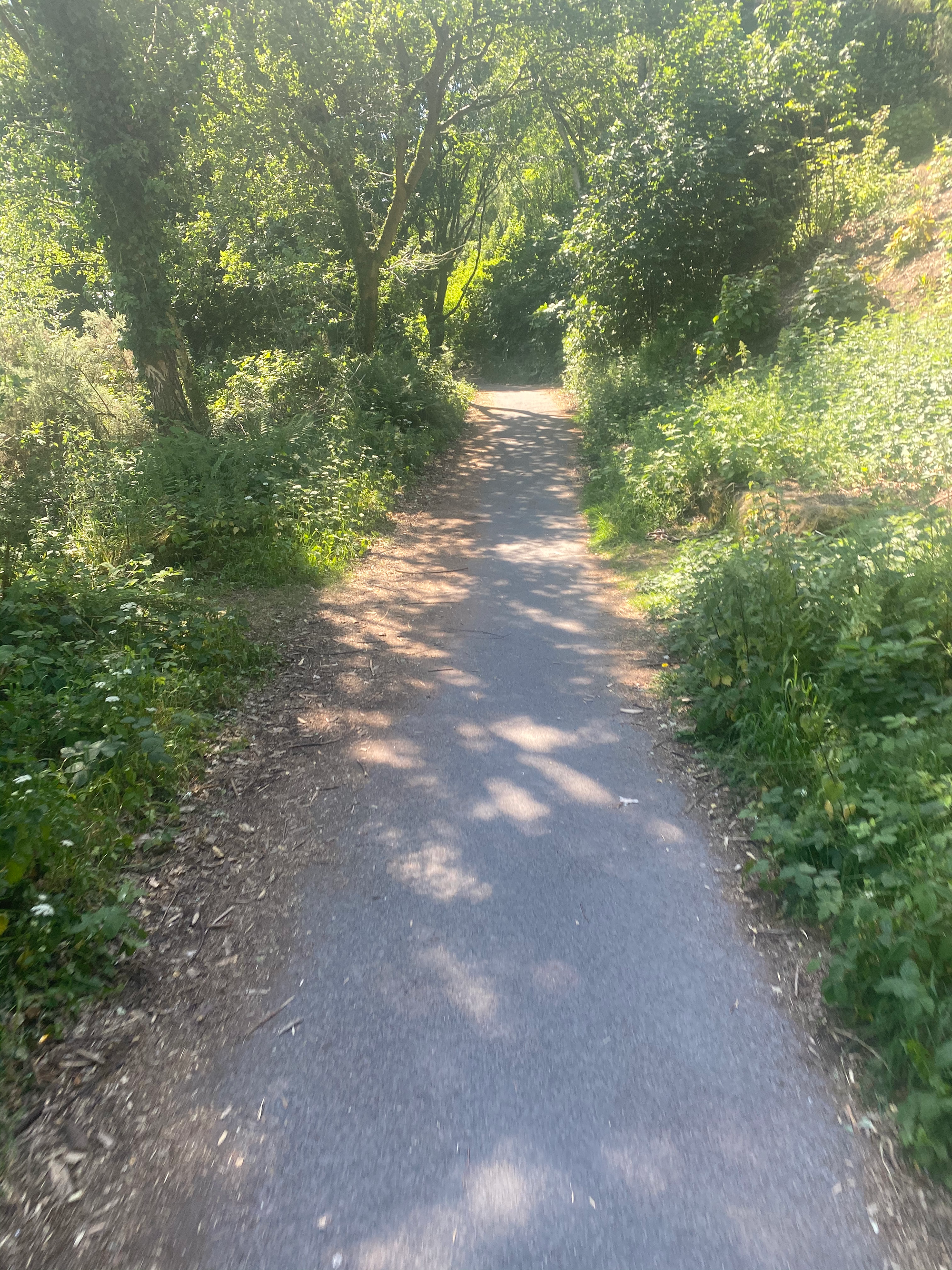
The first 12 miles of the route of down the Wirral Way - the former Hooton to West Kirby railway line. The train line was closed to passengers in 1956 and freight in 1962 before being opened as part of Wirral Country Park in 1973. Highlights include the victorian Hadlow station (restored) and Thurstaston common.
The Wirral Way is mostly flat all the way to West Kirby on a well-laid track ideal for bikes. There are a few inclines but going from South to North it’s mostly flat or downhill. Watch out for the walkers and their dogs - make sure that bell is working!
There are a few sections where you cross over / go along minor roads but nothing too busy.
From West Kirby you head down a few roads before a cycle path alongside sports pitches that brings you out at the level crossing next to Hoylake station.
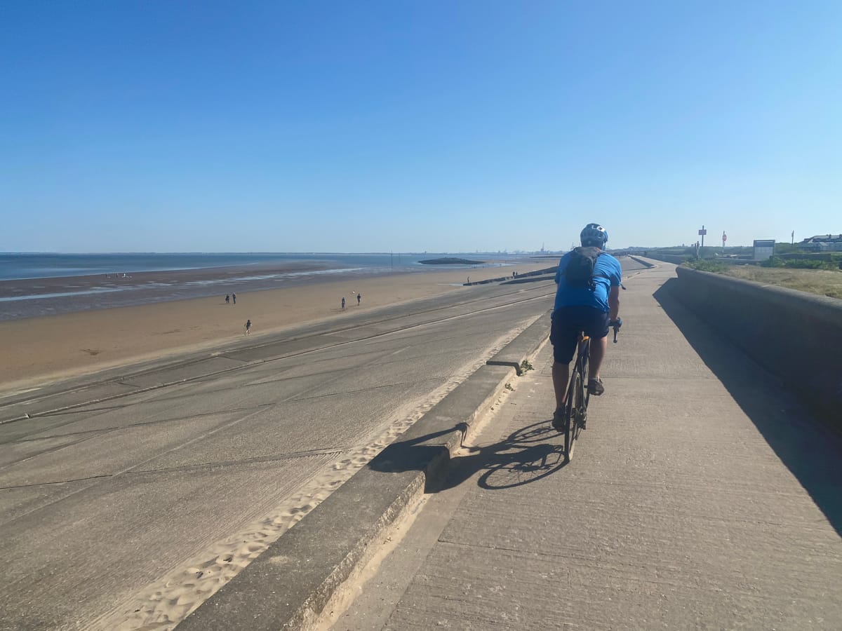
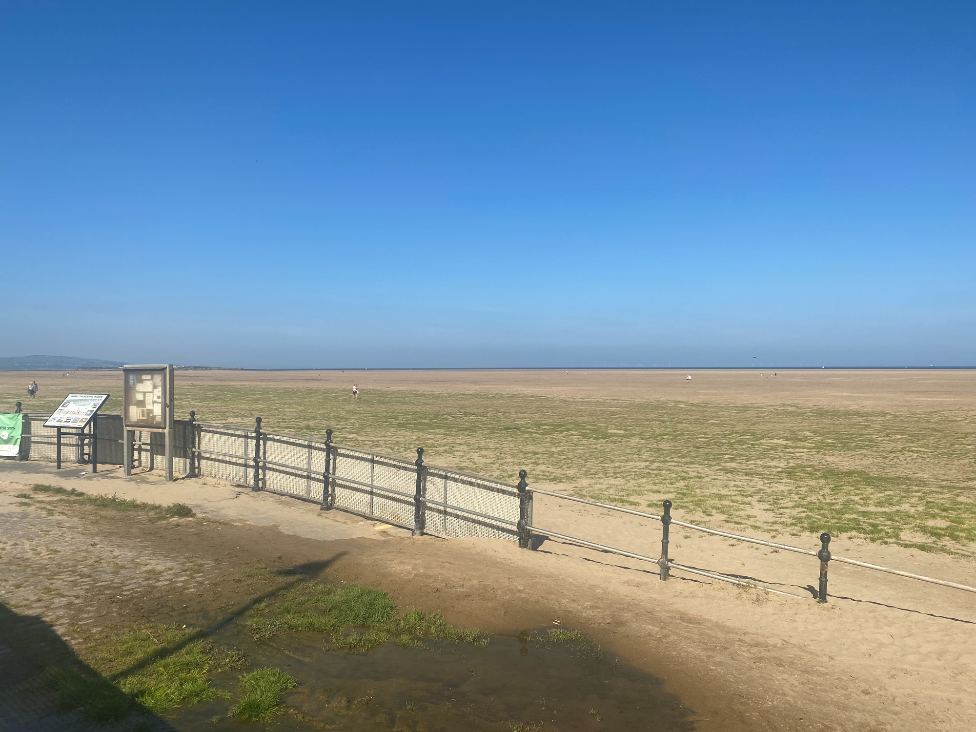
Another short road stretch brings you along the coast and my favourite part. You follow the coast now past sandy beaches, concrete coastal defences and golf-courses before joining the promenade through to New Brighton (stop here for a drink / snack as you’re about half-way!).
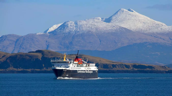
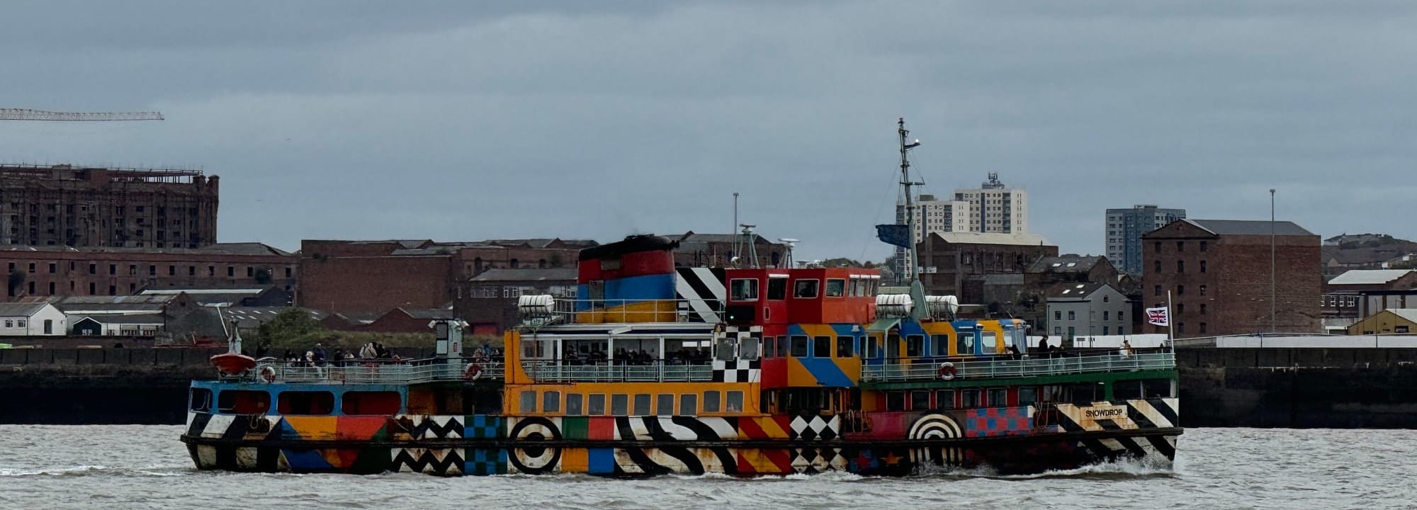
From New Brighton, continue along the promenade (traffic free) with Liverpool on your left as you head towards Wallasey. Here you will pass over the Liverpool and the Birkenhead tunnels - nicely marked on the ground for you to see. You will then come up on Seacombe and the chance to get the fabled Mersey ferry over to Liverpool. Bikes are welcome on the Mersey Ferries. Our route however continues alongside the river, passing an old U-Boat (currently closed), before joining alongside the river Mersey again.
Whilst the second half of the route is not as picturesque as the first half, there’s a lot of history. The route continues through Birkenhead on some roads, some which are quite busy, including crossing over a major road at a roundabout - make sure you take care at this point. You then follow a number of minor roads that lead you to New Ferry.
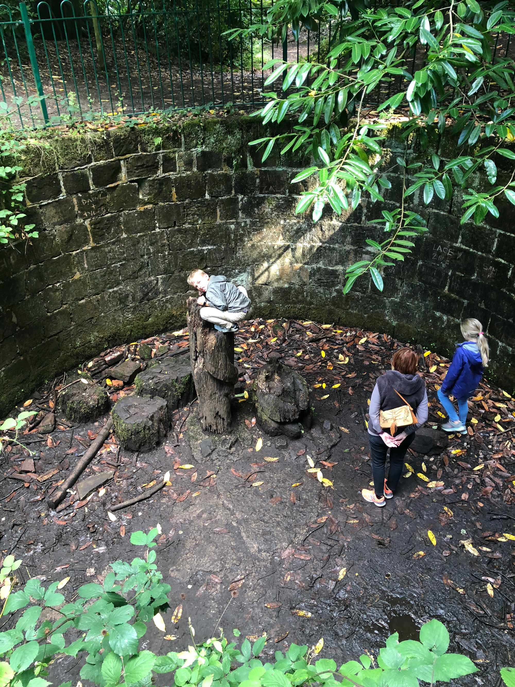
The final part of the route takes you through New Ferry before joining the River Mersey again. The route them briefly diverts through Bromborough passing a number of industrial units before finally dropping back down alongside the River Mersey as you head towards Eastham Woods. While passing through Eastham Woods make sure that you have a look at the information on the zoo that used to be there during the Victorian Times and visit the Bear Pit. At the main entrance to Eastham Woods is The Tap, a popular pub with a cafe (The Bear Pit cafe) at the back. Great for a food stop before the final push back to the station.
The final section back to Hooton station is along roads and uphill after you leave the woods! You pass through Eastham before the final long road, mostly up hill, back to Hooton Station.
An enjoyable ride around the Wirral peninsula complete. Let me know your thoughts on the route and your personal highlights.
Stats
- Total Distance: 36.3miles
- Gravel Rating: 2 - mix of gravel and roads / cycle paths
- Weather Rating: 4 - Any weather but could be muddy in places
- Refreshments: 5 - mixture of shops / pubs / cafes / coffee shops around the route
- Child Friendly: 3 - suitable for confident riders only. Includes some busier roads.
- Escape Routes: 5 - can be picked up at almost any point on the route if needed. Multiple public transport links.
- Personal highlights on route: Wirral Way, Promenades, New Brighton, Wallasey docks, Eastham Woods, Bear Pit Cafe
- GPX: https://connect.garmin.com/modern/course/414385598