Route: Ladybower Reservoir Loop

I’m doing the Peak District X next weekend so wanted a nice, short, low impact and enjoyable loop this week. .
This route originally came from Gravel Rides: Peak District by Hetty Kingston
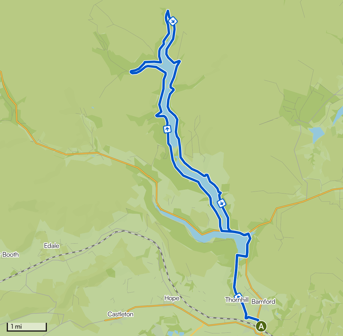
Approximately two-thirds of the route is traffic-free. The other one-third is on minor roads, with one busier road (A57), which has a shared-use path next to it.
Start / Finish
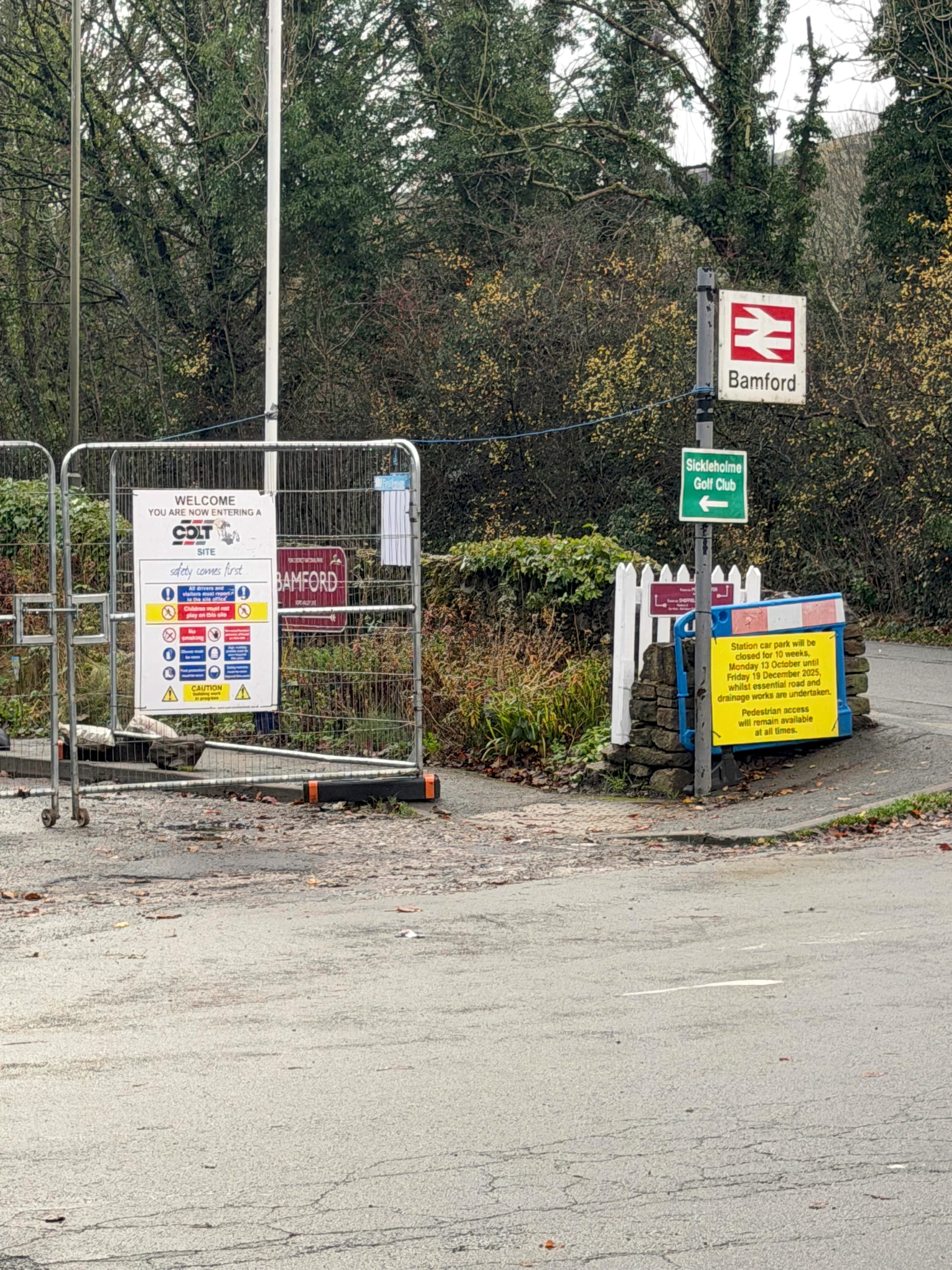
Bamford Train Station: There is limited parking at the train station. In fact, when I arrived, the train station car park was closed completely. I parked along the road. There are also places to park along the Thornhill Trail and the west side of the reservoir - although these can get very busy in the summer months.
The loop starts from the train station if you fancy getting a train to the start.
Route
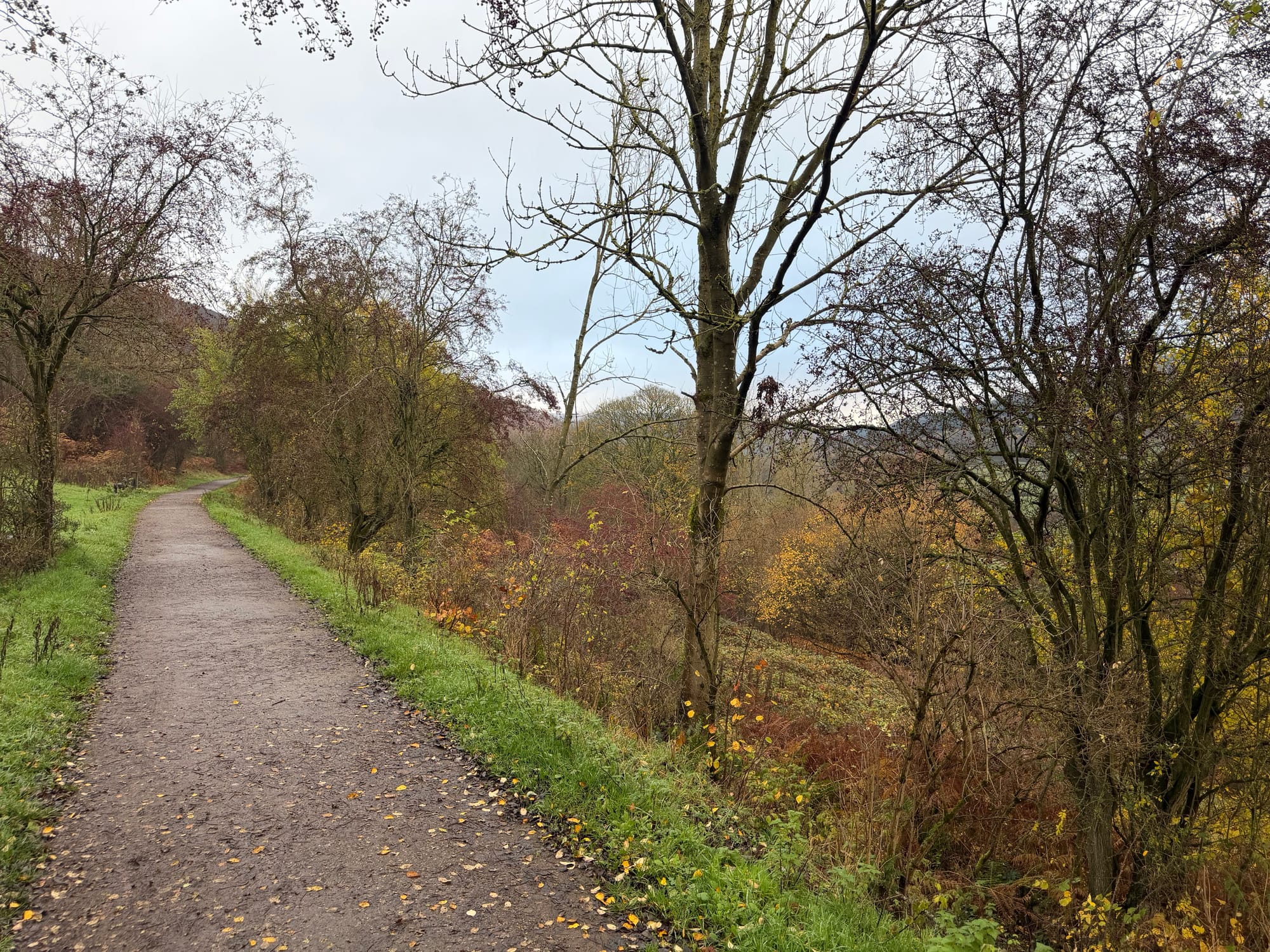
From the train station, head up the main road for a few hundred metres before turning left past the campsites. This small road leads to the start of the Thornhill Trail. The straight trail, along an old railway track, then leads you all the way up to the first large dam - Ladybower Dam. Have a quick peak at the plug-hole - this is very impressive when the waters are high!
After you cross the dam, you follow the road on a shared-use path up to the A57 Snake Pass, where you turn left. The shared-use path continues over the bridge until a right turn starts you up the west side of the reservoir.
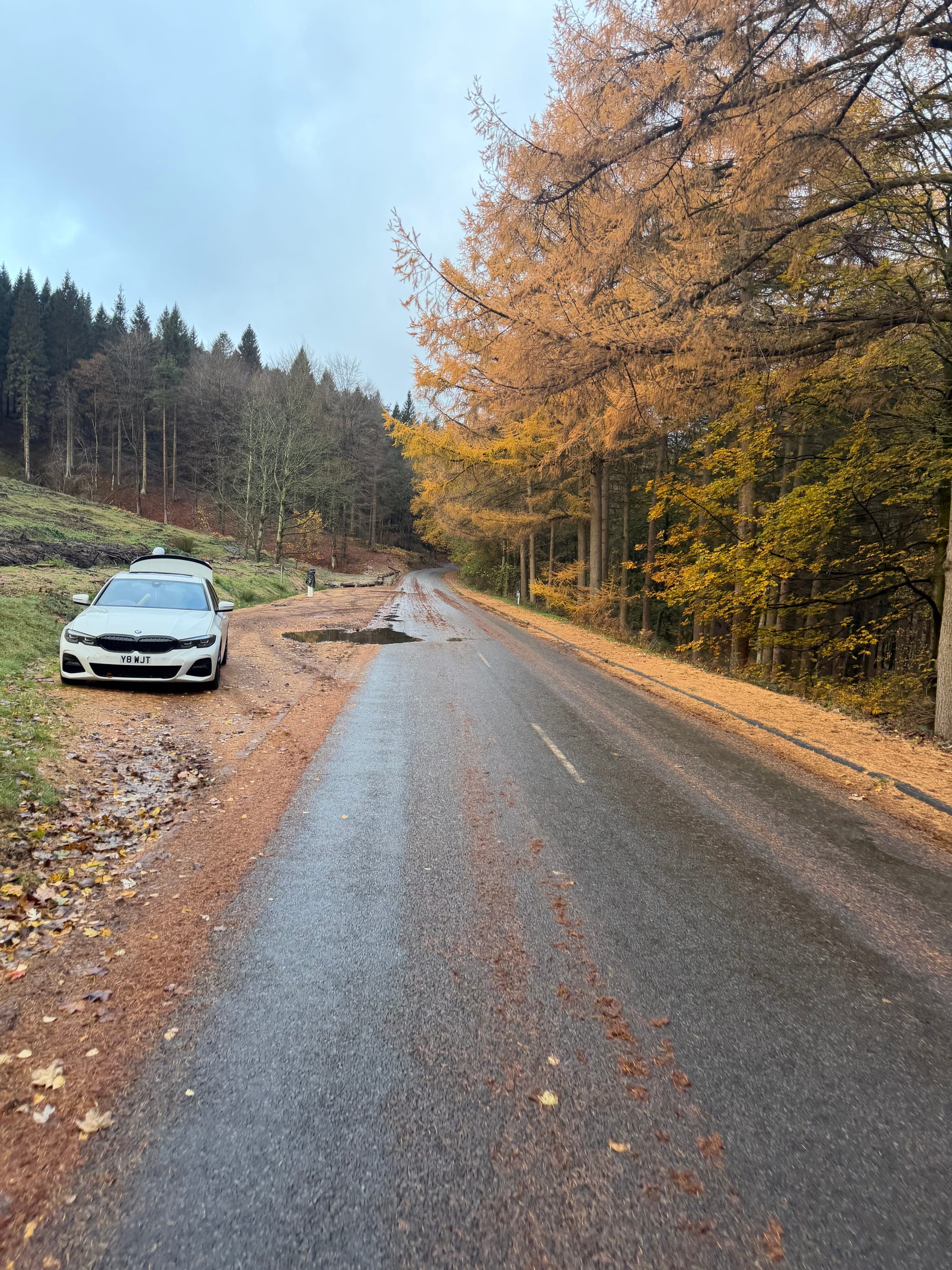
This road is quiet and continues 3/4 of the way up the west side of the reservoirs in the Derwent Valley. Whilst this is generally uphill, it’s on a well-paved road and there is nothing too challenging.
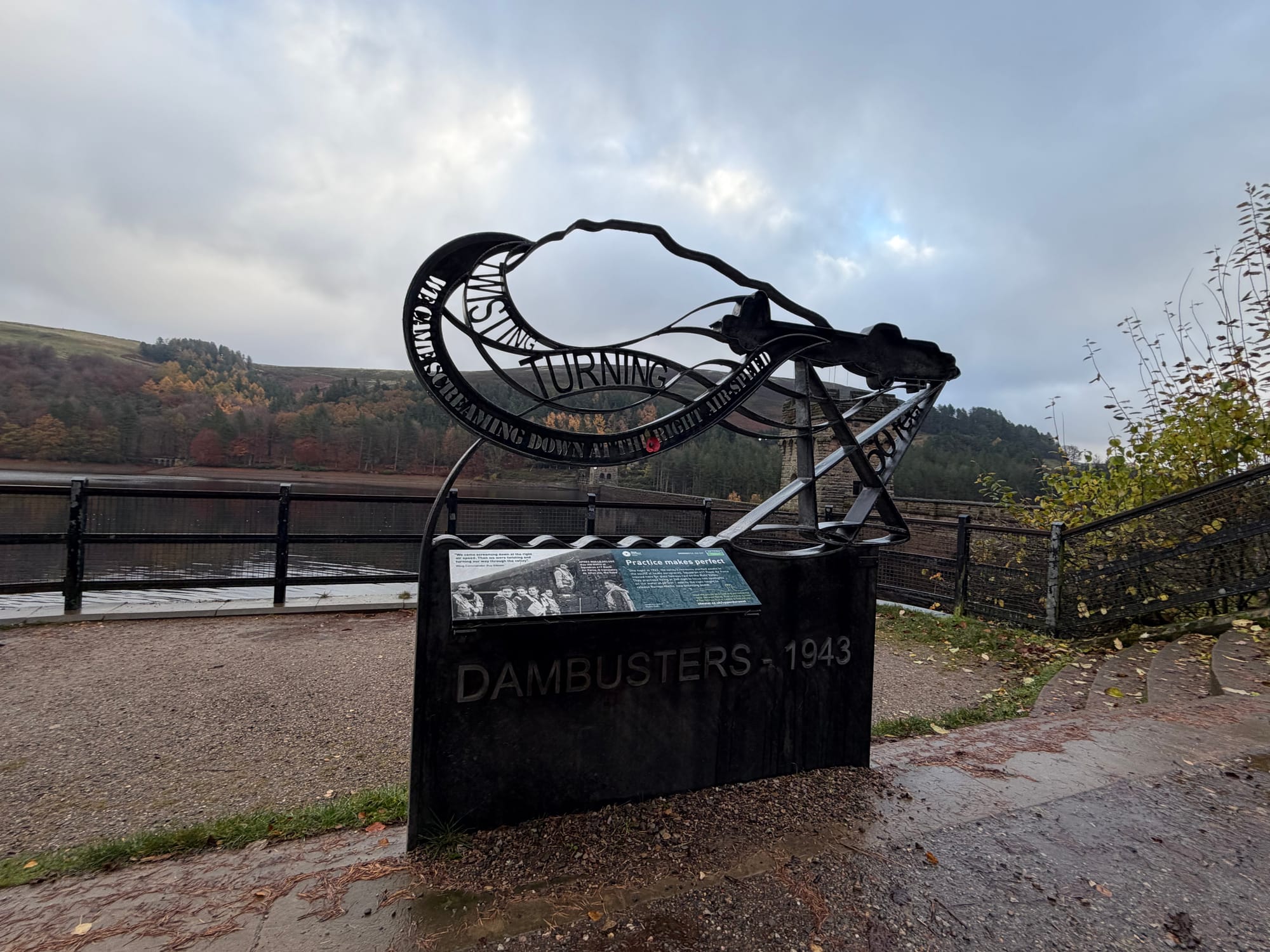
Take a moment to stop by the Derwent Reservoir Dam and see the memorial to the 617 ‘Dam Busters’ Squadron. During the Second World War, the reservoir was used by pilots of the 617 Squadron for practising the low-level flights needed for Operation Chastise (commonly known as the "Dam Busters" raids), due to its similarity to the German dams.
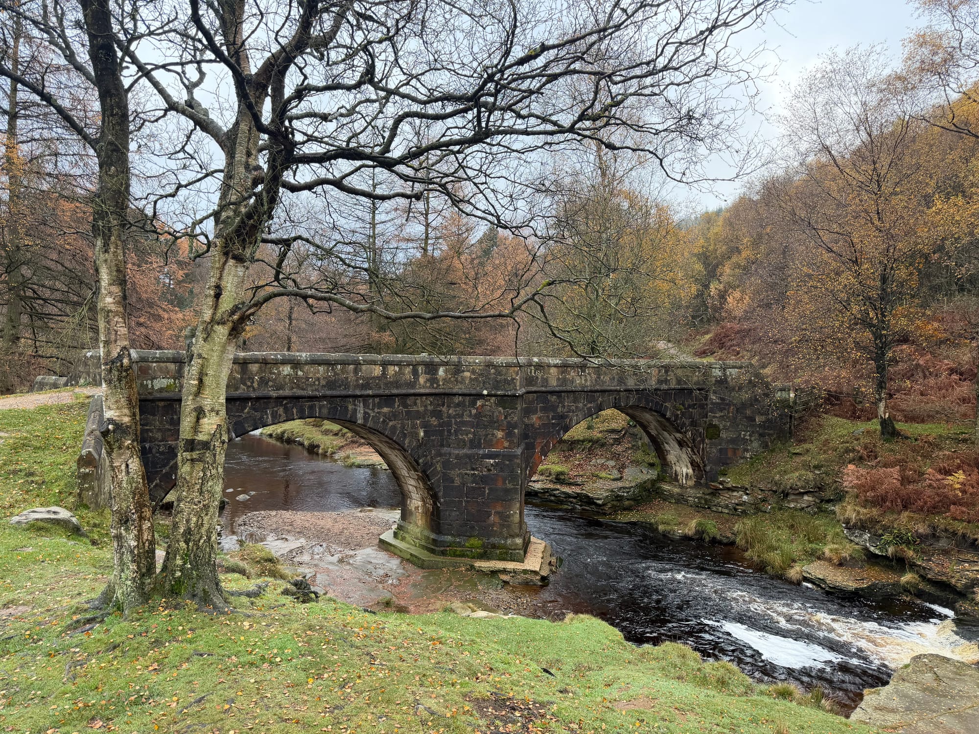
The road continues twisting and turning up to Howden Dam at the north of the route, before the road ends and you cycle through a lovely wooded area towards the ’Slippery Stones’ bridge. Be careful as this small bridge lives up to its name and is slippery!
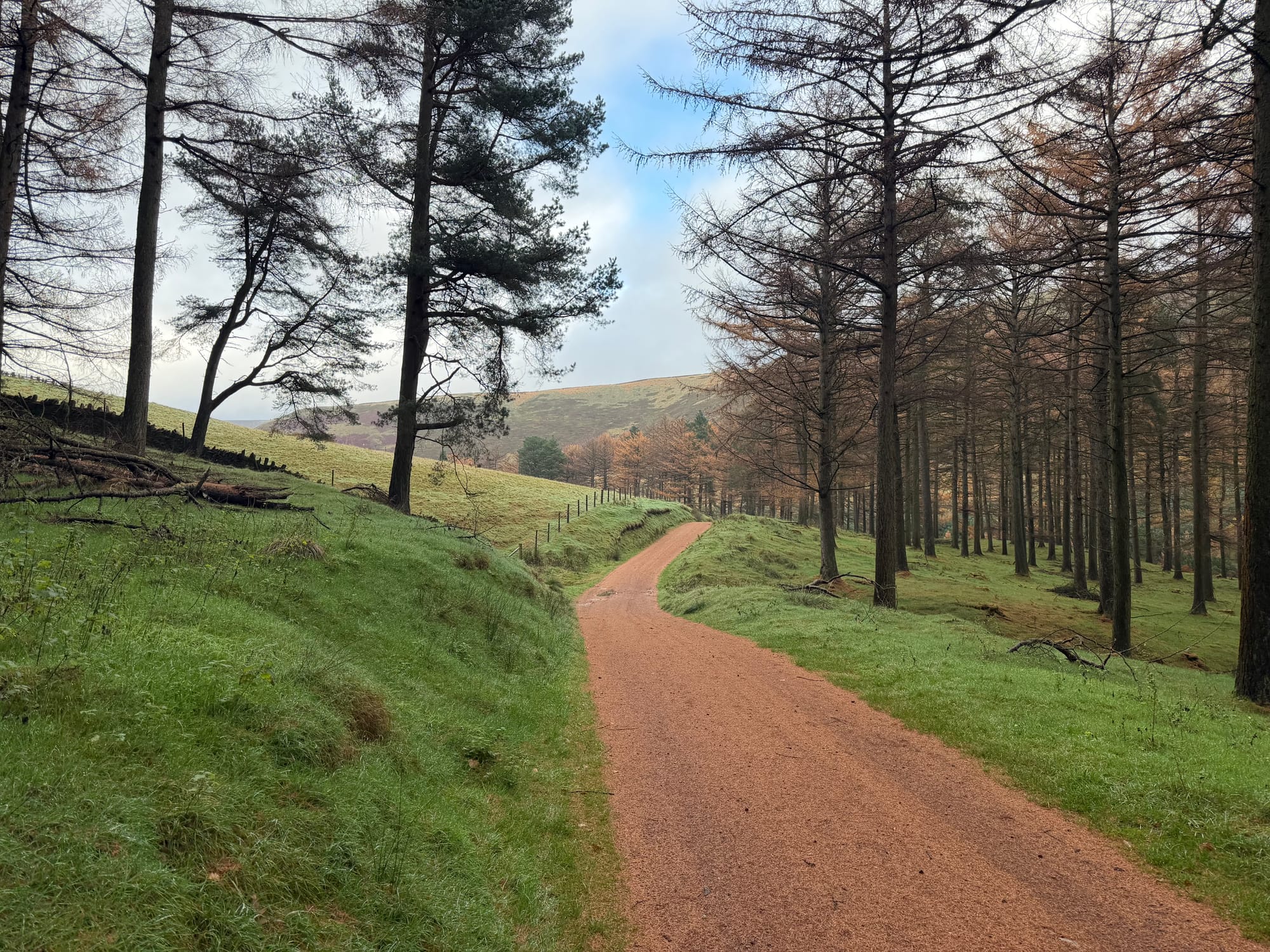
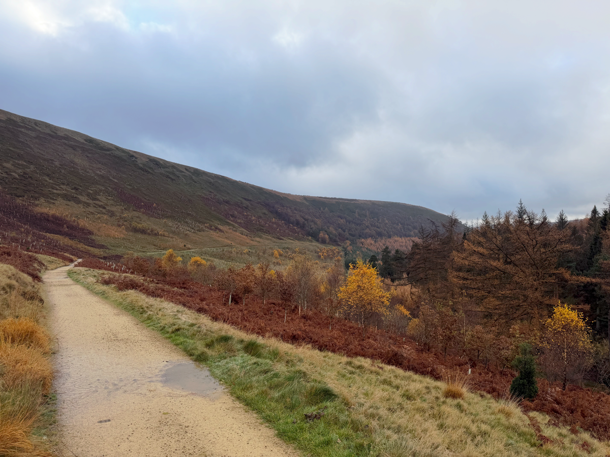
The route now continues up a short hill on a sandy track before a wonderful long section of gravel track pretty much all along the west side of the reservoirs. This undulating track is generally downhill and is a joy to ride.

Reaching the A57 at the bottom, you then retrace your route back to the carpark.
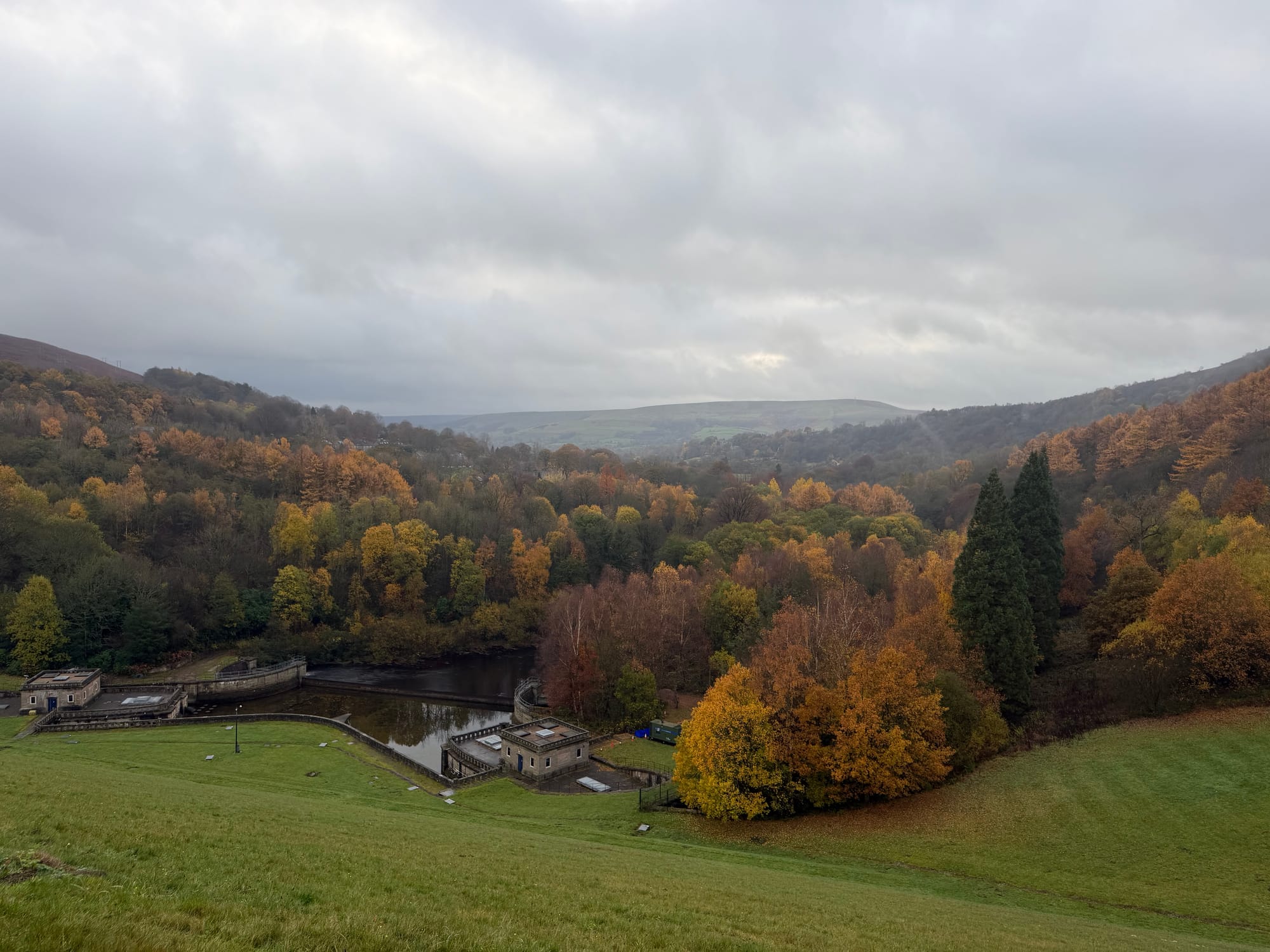
A beautiful early morning ride that, at this time of year, shows off the wonderful autumn colours of the landscape.
Let me know your thoughts on the route and your personal highlights.
Stats
- Total Distance: 22.3miles
- Gravel Rating: 2 - mix of gravel and roads / cycle paths
- Weather Rating: 4 - Any weather but could be muddy in places
- Refreshments: 1 - small shop(s) on route. Check opening times.
- Child Friendly: 4 - suitable for older children confident on bikes. May include some minor roads.
- Escape Routes: 3 - some points you can be picked up. Limited public transport.
- Personal highlights on route: The Reservoirs
- GPX: https://connect.garmin.com/modern/course/416575054