Peak District X - 15th November 2026
The Glorious Gravel Peak District X is described as “A late season classic in the Hope Valley, one of the most spectacular parts of the Peak District! The route takes in wild sections of the moors, the fun & flowing Monsal Trail, gravel tracks around the national park, back roads with epic views and some glorious secret local spots.”
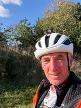
It’s certainly a tough ride, especially the day after Storm Claudia battered the country. In all honesty I was waiting for the ’it’s cancelled’ message on Friday but it never arrived so, at 5:30 on Saturday morning, I got up, packed what I needed and drove across to Hope.
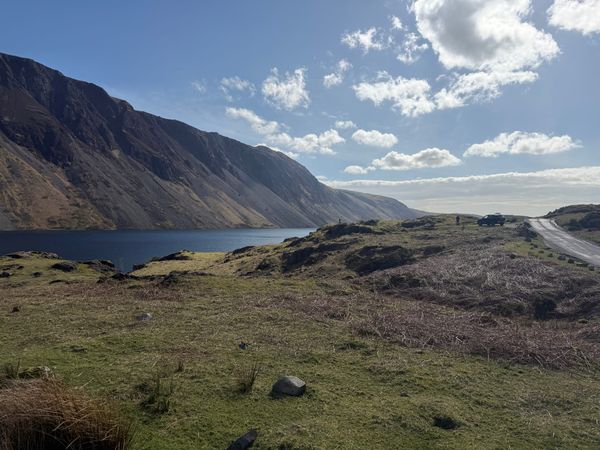
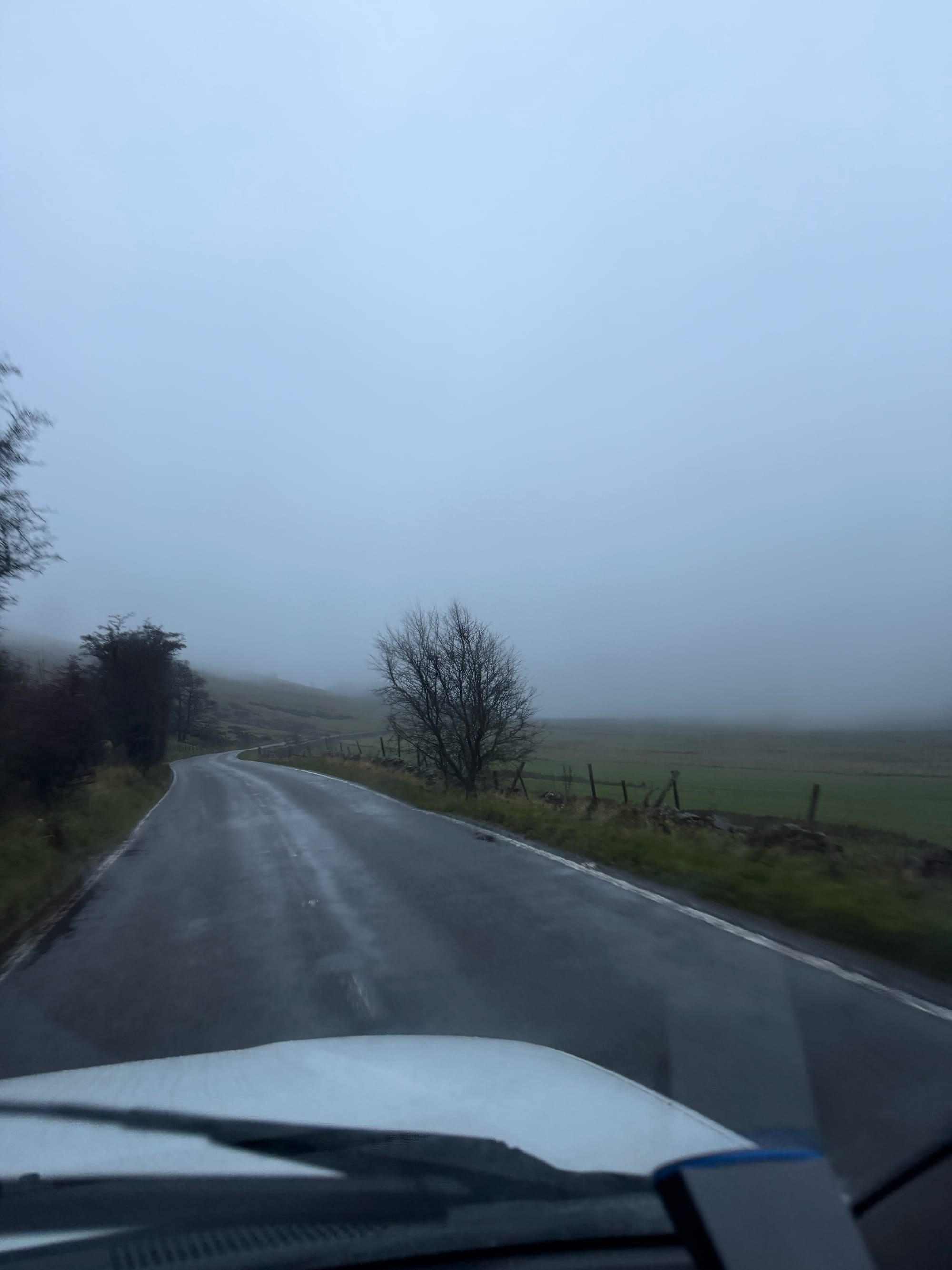
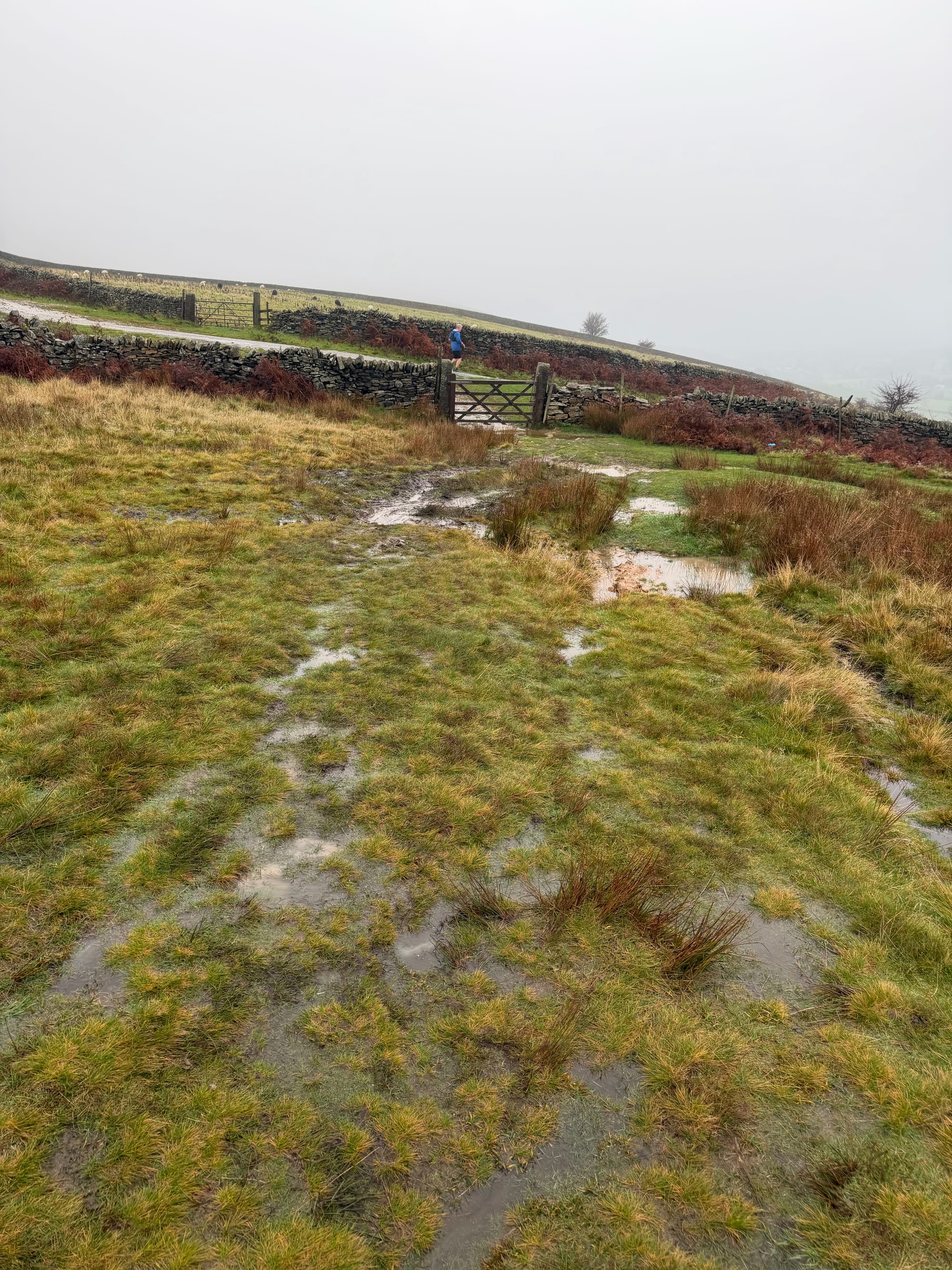
It’s wasn’t a promising start to the day - rain and mist all around!
Start / Finish
Castleton Car Park: The route (and gps shared below) starts and finishes at a school in Hope. My suggestion would be to use the large public car-park in Castleton instead. This would also give you a base to get something to eat / drink before or after the ride. There is a cost for parking here.
Route
At 9 am, with a light drizzle, I joined the first wave, heading towards Castleton, just before the first of the 15 climbs we’d face. Since it was early, this climb felt surprisingly doable!
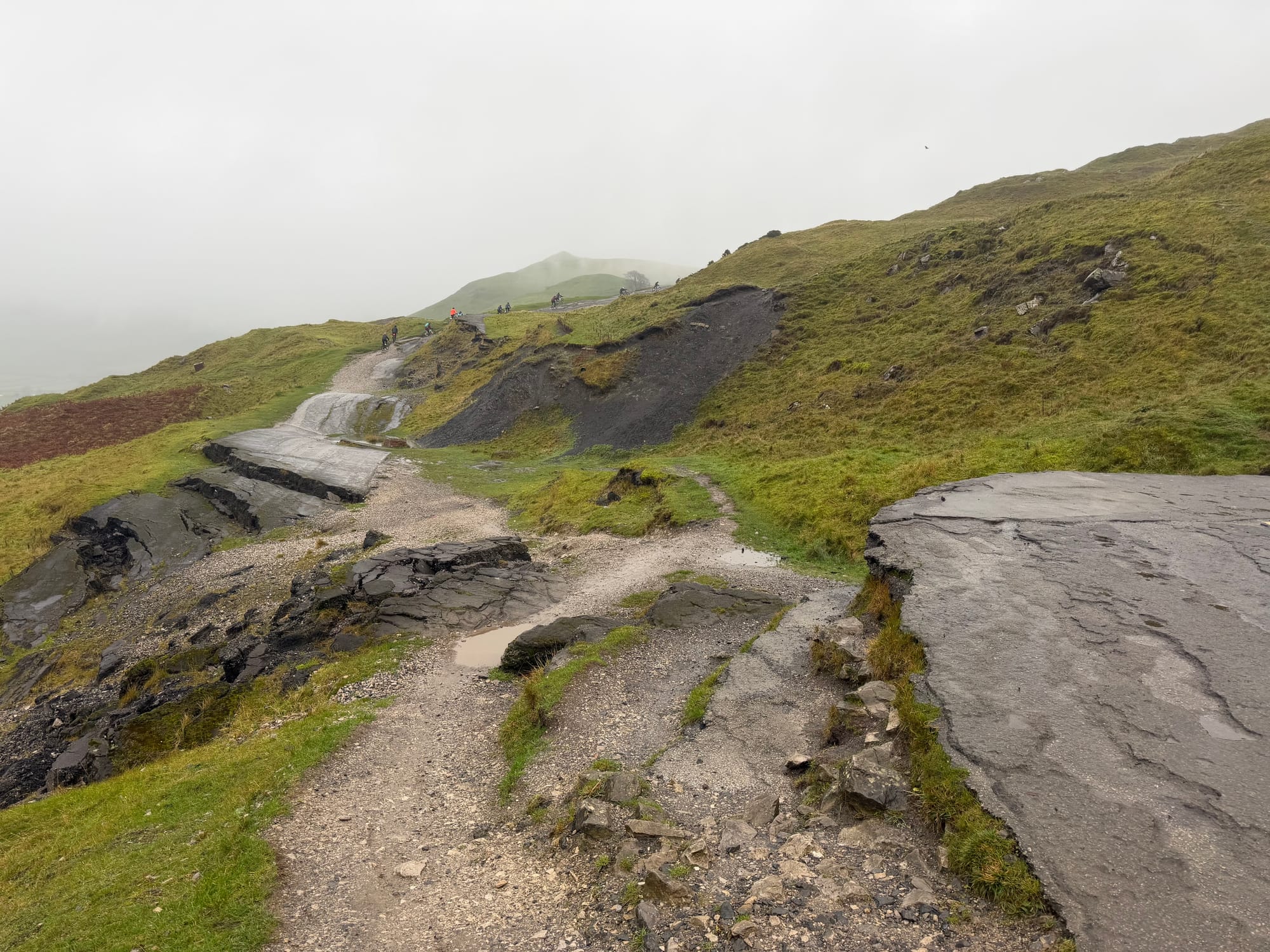
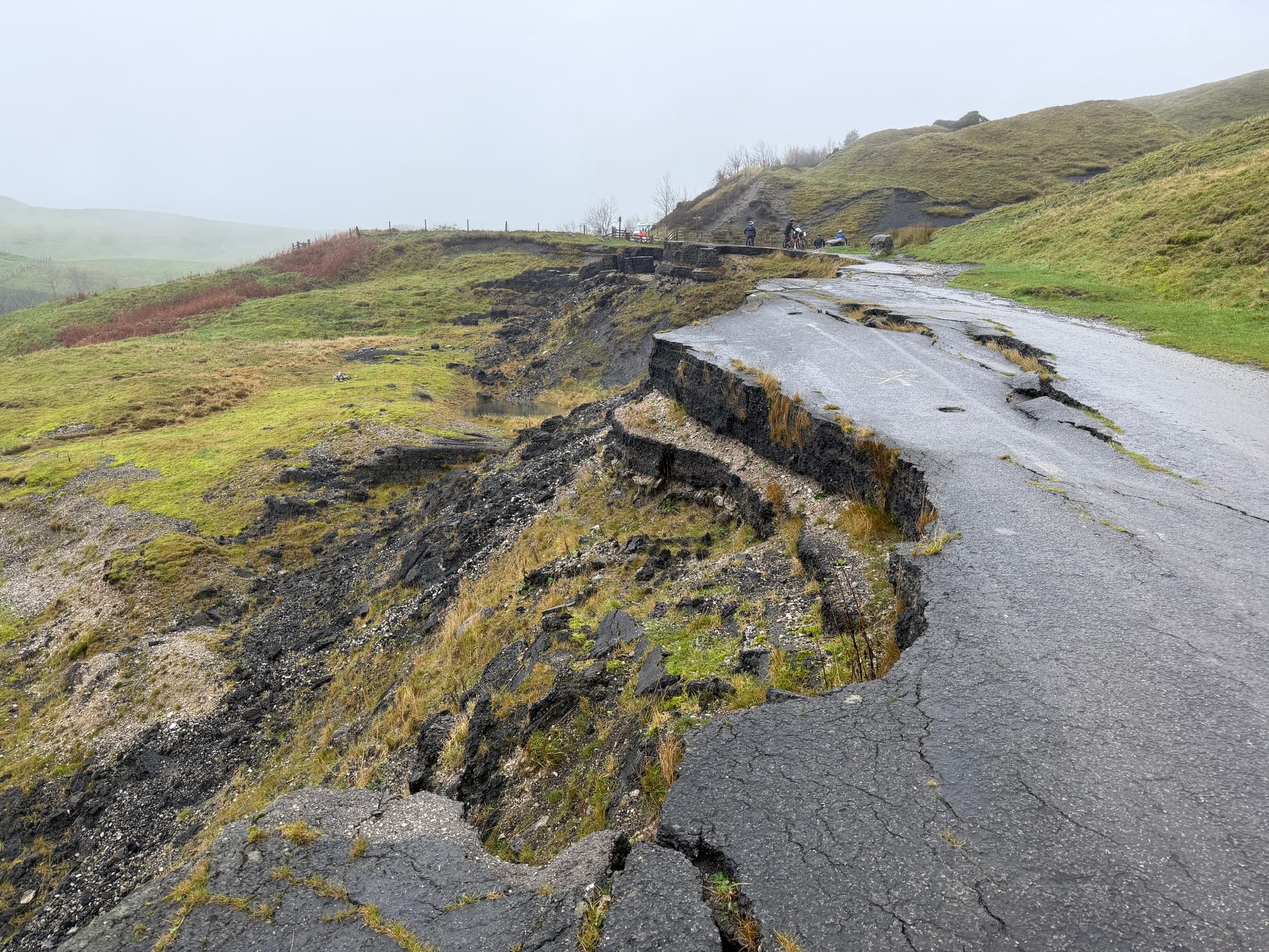
The first climb is up the Broken Road. This is the old A625 that closed in 1979 due to repeated landslides. It’s a really interesting road to ride up!
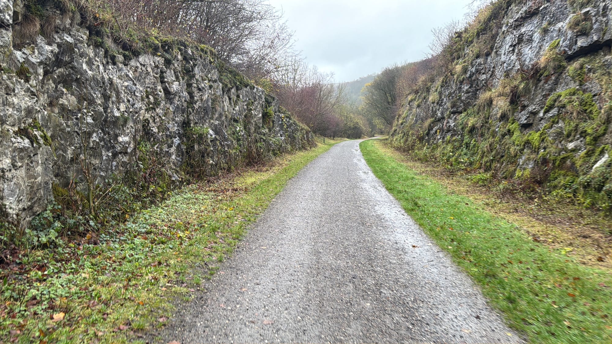
After reaching the top, the route takes you through rolling hills on gravel paths and fields, before gently winding into Tideswell.
So, here’s where the route diverged! I’d already made up my mind to use the the weather to help me decide. It was still just a light drizzle, so I opted for the longer route and kept rolling down the steep hill into Millers Dale.
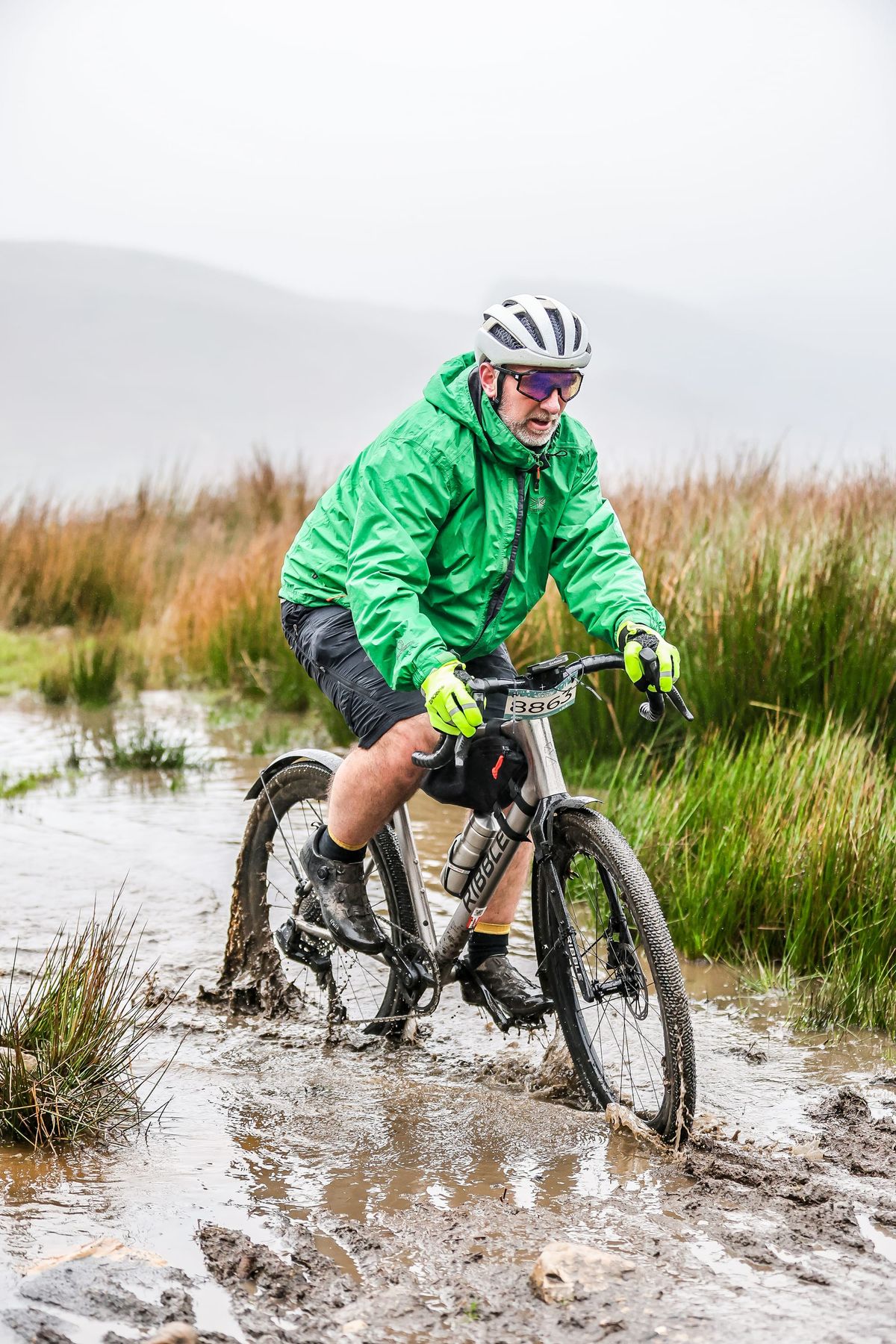
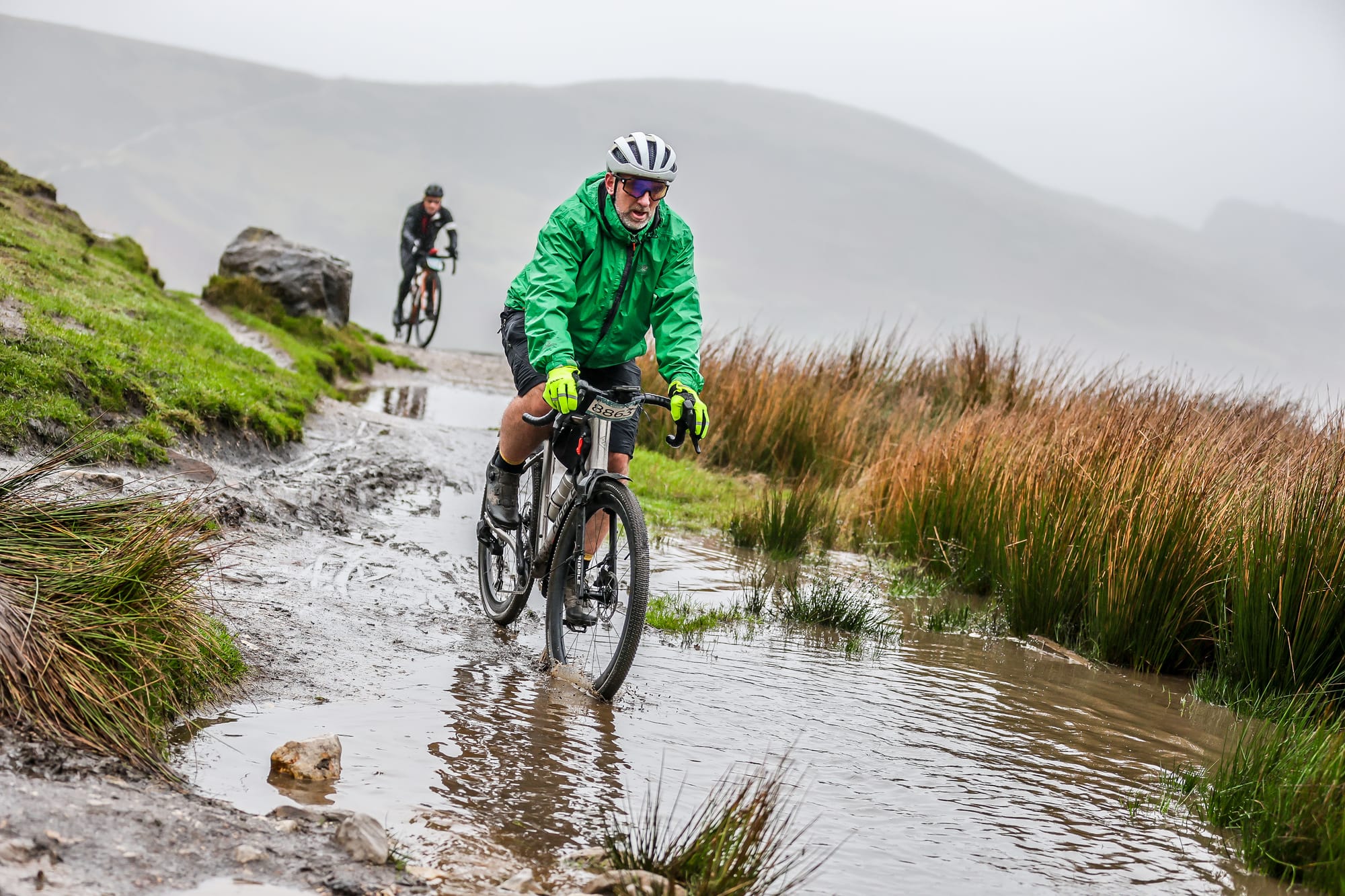
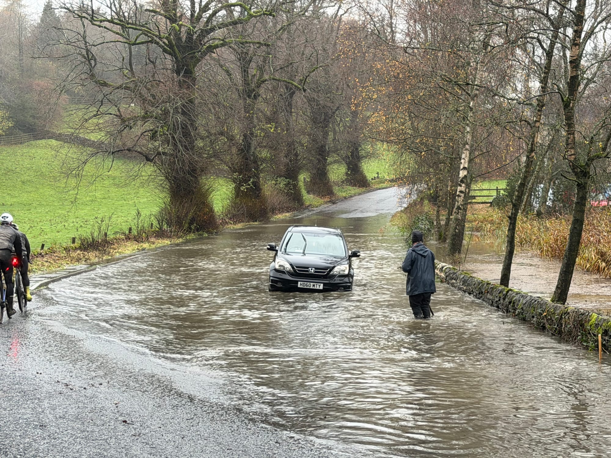
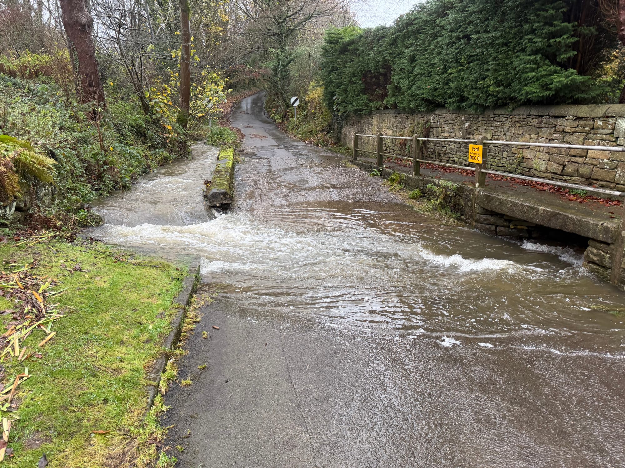
A poorly signed (no signage at all!) food stop was about 700m up a hill but I wasn’t hungry so continued though a flood that went up to my bottom bracket and onto the Monsal Trail.
This 8.5-mile trail takes you from outside Buxton all the way to just outside Bakewell. There’s a great cafe in Hassop that I’d totally recommend, though I didn’t get a chance to visit this time. I’ve been there a few times before, though! There are a few tunnels to navigate, and you might find yourself getting a bit wetter than you’d like in them.
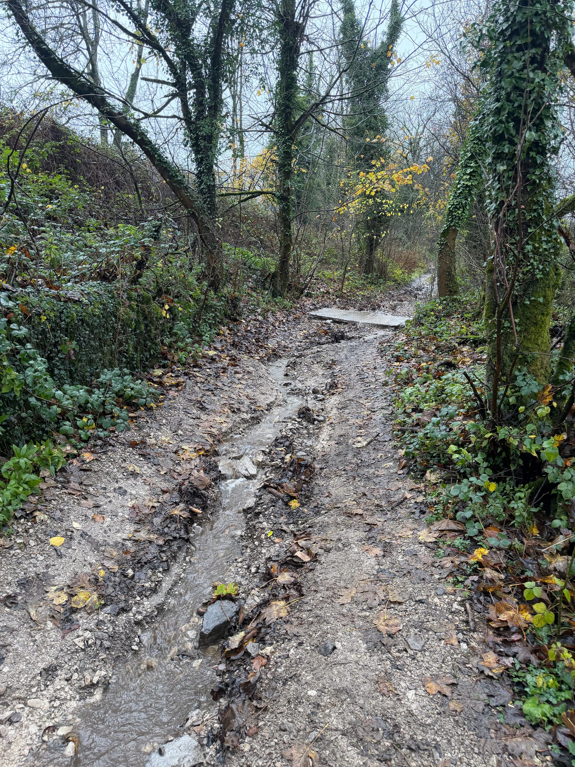
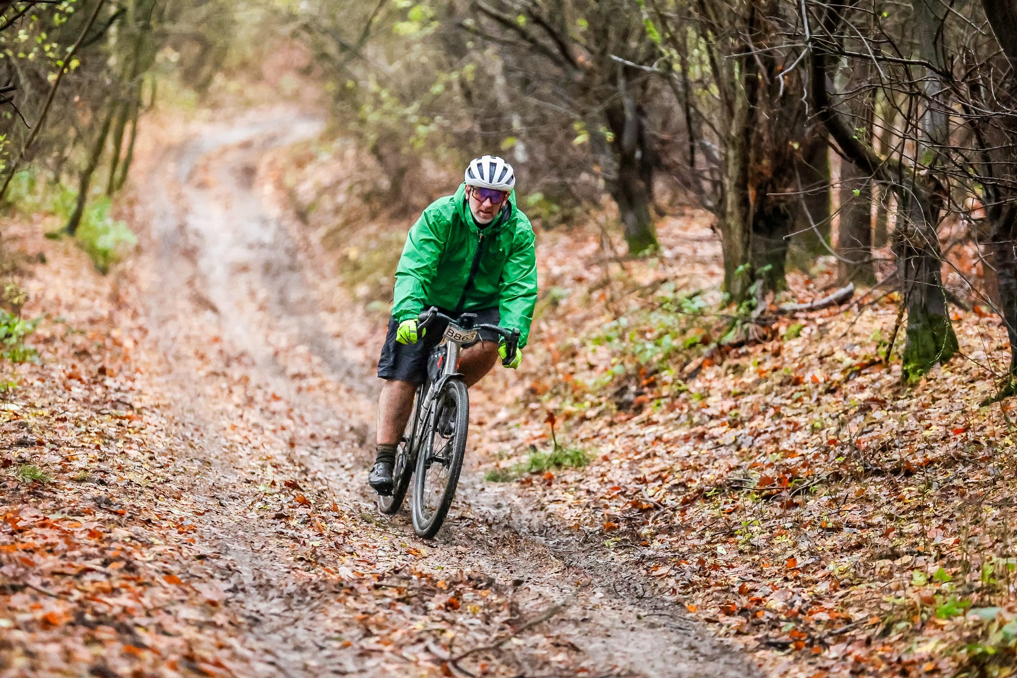
After leaving the Monsal Trail, I followed some roads through another flood and up another hill towards Rowland. Here, the route continued up on a pretty rough trail that was a bit of a challenge. A mountain bike might have been a better choice!
Lunch was at Wardlow, again not well signposted (the signpost had been put out if the route was reversed). There was plenty to eat, an endless supply of batches (buns, rolls, or whatever you call them) with all sorts of fillings. I had two freshly made Quorn and Branston Pickle batches, a banana, a snack-sized malt loaf, and a packet of crisps. I filled up my water bottle (I’d already had my hot chocolate to keep warm) and popped in a Zero tablet.
By now, the drizzle had turned into rain, making it tough to get motivated to head back outside and start the second part of the route. The route started on a road that went up before turning off onto a stony track. This followed around the edge of the hill (still going up) before rejoining a road that steeply descended the valley into Stoney Middleton. Of course, it then went straight back up the other side on a very rutted, wet, and busy path to arrive in Eyam—the Plague Village everyone learned about in school. Eyam’s big claim to fame is the story of how the village chose to go into isolation to stop the bubonic plague from spreading after it was discovered there in 1665.
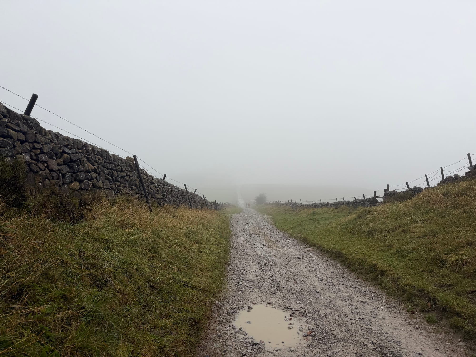
The path climbed another hill, maybe the same one, for about two miles before we veered onto Sir William Hill Road. It was a wide, straight track that kept going up! By now, my legs were feeling like they were on fire, and the rain, which was now heavy, was soaking through. But there was no turning back, so I just kept pedalling. I was only about ten miles from the finish line.
As I continued along the tracks, I finally arrived at Great Hucklow, where the Derbyshire and Lancashire Gliding Club is located. It was clear that there were no worries about anything flying – the wind had picked up a bit, but the rain was starting to ease up, which was a relief!
Not long after, I met a marshal and asked how far I had to go. He mentioned he was marshalling for a different event, a fell race, but it was about 5 miles back to Hope, where I’d started my adventure 5.5 hours earlier!
I then descended a rocky path, through a gate onto a sodden field where the wheels sank, and when I put my feet down, my feet too!
This part of the ride would have been more fun on a mountain bike! It was a muddy path that twisted around the edges of a few fields before finally hitting a road. As I was coming down the hill, I could tell my brakes were getting all squishy, so I kept my speed low. I’ve already got new front and rear pads on order!
And the cherry on top - or maybe the last straw - was a hill after a ford in Shatton. I was debating whether to ride through the ford and film myself. I’m so glad I didn’t! Someone had already put their bike in it to wash off the mud, and they almost had their bike swept away!
From the top of the hill, there was a quick stretch across another edge of a field before I dropping down onto the main road heading back into Hope.
I finished at 15:23, which means it took me about 6 hours and 23 minutes to complete the ride.
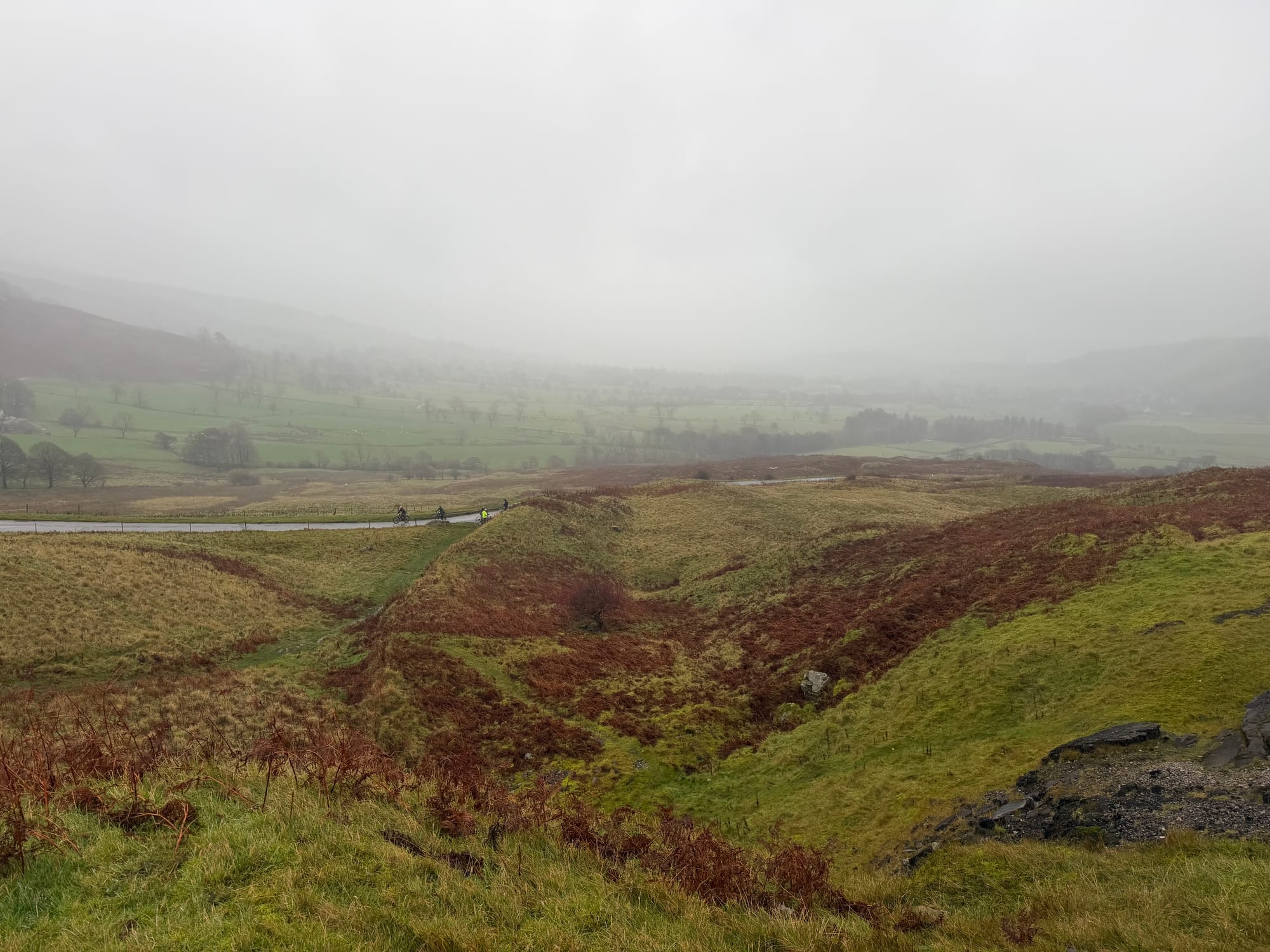
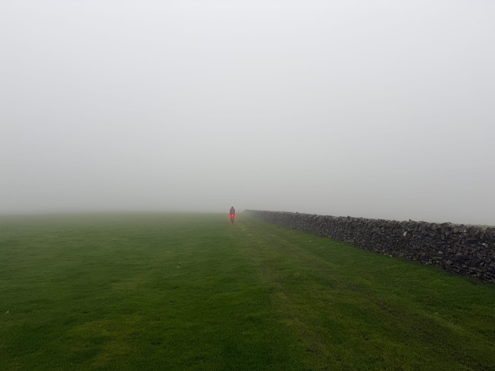
The ride was definitely a challenge, but it was also great fun! The storm the day before made the already tricky route with its elevation even tougher. On a dry summer’s day, this would have been amazing for views, but certainly at the start of the day, the views were limited to only a few 100m around you!
Stats
- Total Distance: 48.8miles
- Gravel Rating: 2 - mix of gravel and roads / cycle paths
- Weather Rating: 3 - Better wait for a dry day if possible
- Refreshments: 1 - small shop(s) on route. Check opening times.
- Child Friendly: 1 - not recommended for children unless they are confident off road. May be too far for children to cycle.
- Escape Routes: 3 - some points you can be picked up. Limited public transport.
- Personal highlights on route: The Broken Road, Eyam
- GPX: https://connect.garmin.com/modern/course/417588074