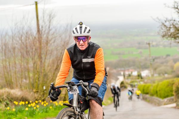
Apps I use for cycling

Note that I use iOS, but I believe that all of these apps are also available on Android, and in many cases, on the web.
I use a variety of cycling apps to track data and plan routes. Here are my current top 10 used apps (not in order).
What are your favourite apps for cycling?
Strava
Pretty much everyone uses this, and I’m sure that there’s not much I can tell you about it that you don’t already know. If you don’t, then it’s worth downloading the free version and having a play with it. Become a paid subscriber, and you get analysis of your data, including being able to see your position on segments. A paid subscriber also allows you to link your data into Veloviewer. Pretty much everything feeds into Strava, allowing everyone to share their rides regardless of which tracker they use. Automatic route planning is a bit ‘meh’, but it’s generally used more for sharing your rides and tracking yourself on segments, being in riding clubs, and engaging with your friends. As much as I’d like there to be an open source/fedi version, I’ve not found one yet!
Link: https://www.strava.com/
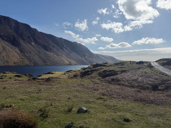
BikeMap
I like to use this app to create routes when away. It uses the OSM maps to route you from one location to the next. There is a large collection of users routes available and tracking is generally very accurate, especially abroad, although sometimes it seems to get a little muddled up on my location. You can track your rides (and export into Strava) and store (and share) your own routes.
Link: https://www.bikemap.net/
Wikiloc
A great app for collating routes and finding local routes to you. I particularly use this when I’m away from home. A paid subscription allows you to filter routes exactly how you want— from distance, activity, circular and location to name a few. What I also like is that I can search specifically for ‘Gravel’ routes. The number of routes and ease of searching make this app worth every penny to me. I upload all my routes and share them on Wikiloc. According to the website, there are currently over 71 million shared routes!
Link: https://www.wikiloc.com/
Connect
Being a Garmin user, I have a Garmin watch and cycling computer, everything gets synced into Garmin Connect before anywhere else. Very similar to Strava - it even has segments, which lots of people don’t realise - but it’s specifically only for people that are invested in the Garmin ecosystem. There is very detailed analysis of your activity - better than Strava. You can opt into a paid subscription version, but this isn’t worth it at all at the present time! Out of all my apps, the one that I open pretty much every day!
Link: https://www.garmin.com/en-GB/blog/an-introduction-to-garmin-connect/
Veloviewer
If you thought that Strava and Connect gave you detailed analysis of your rides, connect Veloviewer and be amazed. Graphs, 3D segments, wind speed, etc., this web app pulls it all together in a generally pretty way! There is a minimal yearly cost, but if you like data, it’s worth every penny! You can try it out for free, but to import all your previous data, you need the Pro data. You will also need a subscription to Strava in order to be able to access your data in Veloviewer.
Link: https://veloviewer.com/pro
Cyql
A new one to me. Used by my local road cycling group. Useful for planning and sharing routes and rides, as well as collecting subs, etc. Free to use currently, although that may change in the future.
Link: https://web.cyql.app/
Wandrer
Another web app that I use after each ride and when planning to try and ensure that I have variety in my routes. Data from Strava (or Connect) is uploaded after each ride, and you can see which ‘new’ roads you have ridden on. Can you ride 100% of your village, town, or city? There is a yearly cost, but it’s minimal and worth it for the variation in routes that it brings.
Link: https://wandrer.earth/
Squadrats
Similar to Wandrer, this app helps to keep your routes fresh. The whole world has been divided up into approximately one-mile squares (squadrats) and even smaller squares (squadrinos). Pass through a square and it’s marked complete. What’s the biggest collection of squadrats you can make? While it sounds complicated it’s not - you can read the full details on their ‘explain’ page.
OSM
When I have a little spare time, I like to contribute to the Open Street Map. A map that has been made and continues to be continually updated by its users. You’ll be surprised how many apps and websites use OSM maps. Create an account and help build the most detailed and up-to-date map.
Link: https://www.openstreetmap.org/
Komoot
I used to have a lot of time for this app, and I’m the ‘local expert’ in a few areas. Since they’ve been bought out, prices have gone up, and updates have reduced. I still log in now and then, and it’s useful to find detailed and curated routes— especially multi-day ones. Whilst I’d love this app to continue, I don’t see a bright future in Komoot at the moment. There is now no free version, but there is a free trial.
Link: https://www.komoot.com/